Better pre-application dialogue on a shared, documented basis.
When projects arrive via Arcili's project reports, planning conditions and key figures are already in place.
The modules that create value. Exactly the tools municipalities use.
Key module
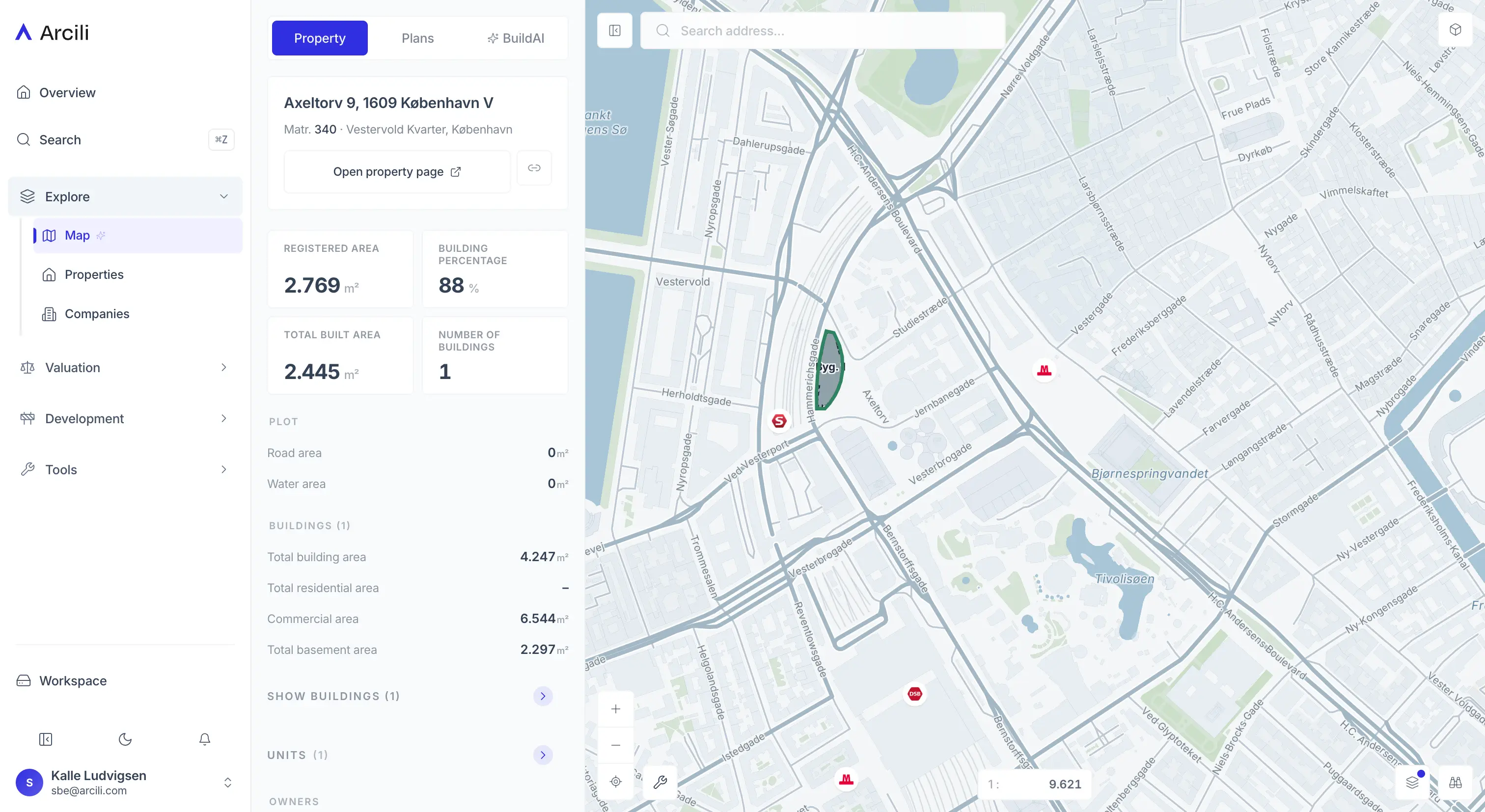
Map
See local plans, municipal plan frameworks and sub-area requirements at cadastral level.
- Local plans and municipal frameworks
- Sub-area requirements at cadastral level
- 300+ data layers
- Planning conditions in one map
Key module
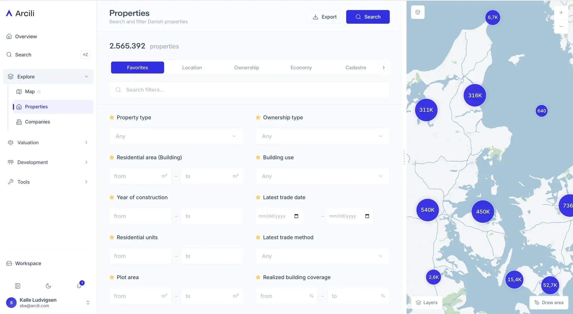
Properties
Open a cadastre and find ownership, building data and planning conditions together.
- Cadastre and ownership
- Building data
- Planning conditions and history
- Updated daily
Receive pre-application dialogue on a structured, documented basis.
See market rent as a reference in dialogue on social and private projects.
“We read an area's potential
straight from the map.”
Built for your work. The tasks you handle — and how Arcili gets them done.
Receive projects on a documented basis
Structured project reports with site plan, 3D and planning conditions already in place — fewer rounds back and forth.
See planning conditions at cadastral level
Local plans, municipal frameworks and sub-area requirements in one map — without lookups across systems.
Check a site's local plan and frameworks quickly
Planning and ownership on the spot, so a pre-application request can be assessed right away.
Clarify questions with source references
Look up planning-act and building-regulation questions with references to the relevant sections.
Fewer misunderstandings early on
Developer and municipality work from the same data from the first pre-application dialogue.
Ready for more effective decisions?
Pricing adapts to your team, roles and usage — from single user to enterprise with SSO. No commitment to see the platform.
We reply within 24 hours on business days
[email protected]